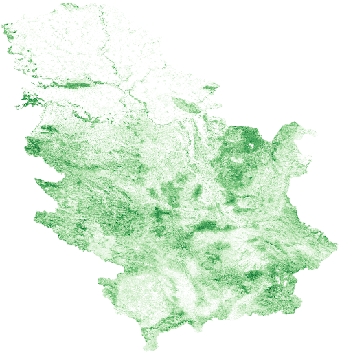
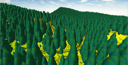
The ForestCO2 project has published a comprehensive open-access dataset featuring annual Canopy Height Maps (CHM) and Above-Ground Biomass (AGB) estimates for Serbia, covering the period from 2020 to 2024.
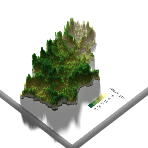
The canopy height maps were generated using a cutting-edge deep learning model (Zhou et al., 2023, Nature Ecology & Evolution) applied to Sentinel-2 imagery with the least cloud cover from May to September each year. For each year, five images were selected, and predictions were averaged to produce an annual CHM. The maps were then masked to exclude non-vegetated areas and pixels with canopy height below 5 meters, based on the Sentinel-2 L2A Scene Classification (SCL) layers.
Biomass was estimated using an adapted allometric equation from Pilli et al. (2023, ESSD), with the following relationship:
Biomass = 0.6 × H^1.9
To assess forest disturbance, the difference between the CHM layers from 2020 and 2024 was calculated. Changes smaller than 10 meters were excluded to reduce the influence of agricultural activity and model uncertainty.
This dataset represents a major output of the ForestCO2 project, which aims to develop transparent and scientifically robust methodologies for carbon credit verification in forestry using Earth Observation technologies and validated biomass modeling approaches.
🔗 Access the dataset on Zenodo:
https://zenodo.org/records/15201316