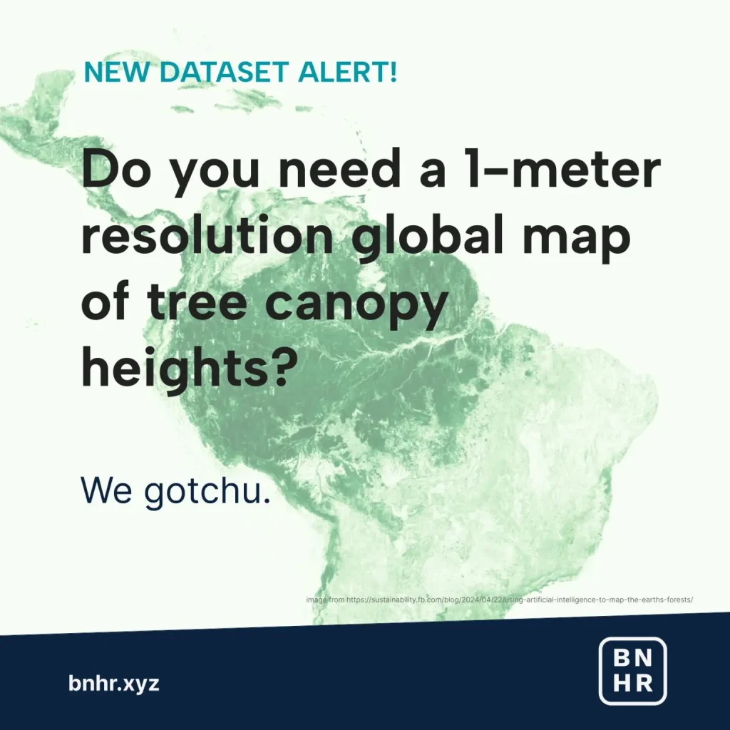
NEW DATASET ALERT!
Do you need a 1-meter resolution global map of tree canopy heights? We gotchu.
What is it?
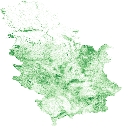
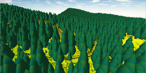
Meta and World Resources Institute has released a global map of tree canopy height at 1-meter resolution allowing for the possibility of detecting individual trees at a global scale.
How was it made?
Using AI models (i.e. DiNOv2) trained on high resolution satellite imagery with Self Supervised Learning (SSL) augmented with LiDAR and GEDI data.
Read more on this link. (Source: Ben Hur Pintor – LinkedIn)