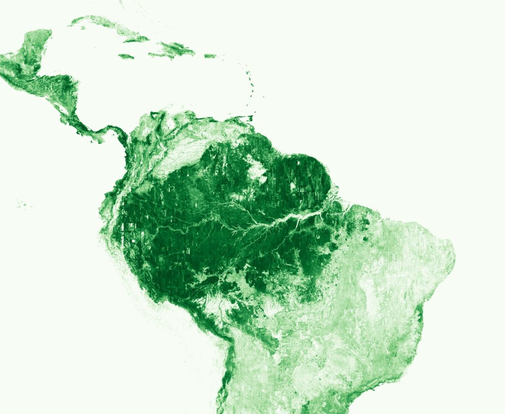
Today, Meta and World Resources Institute are launching a global map of tree canopy height at a 1-meter resolution, allowing the detection of single trees at a global scale. In an effort to advance open source forest monitoring, all canopy height data and artificial intelligence models are free and publicly available.
Read more here.